Land Surveying
Boundary Surveying
Construction Surveying
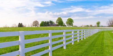
Our boundary surveys are conducted by our experienced surveyors who use state-of-the-art technology to accurately determine the boundaries of your property. We provide detailed reports that can be used for legal purposes and to settle boundary disputes.
Construction Surveying
Construction Surveying
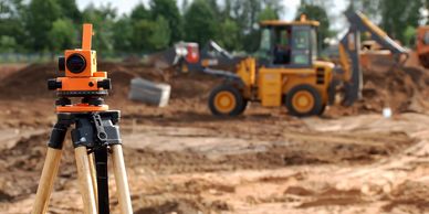
Our construction surveying services help ensure that your project is completed on time and within budget. We work closely with your team to provide accurate measurements and precise layouts that meet all engineering and architectural standards.
Topographic Surveying

Our topographic surveys provide detailed information about the natural and man-made features of your property. We use state-of-the-art equipment to produce accurate and reliable surveys that are used for a variety of purposes, including land-use planning and engineering design.
ALTA/NSPS Surveys

Our ALTA/NSPS land title surveys provide a comprehensive report of your property, including boundary lines, easements, encroachments, and other important information. This is essential for commercial real estate transactions. We work closely with our clients and lenders to provide surveys that meet all applicable standards and regulations.
FEMA Flood Certificates
FEMA elevation certificates provide important information about the elevation of your property and can be used to determine flood insurance rates. We work with property owners and insurance companies to provide accurate and reliable certificates.
As-Built Surveys

Our as-built surveys provide accurate and detailed information about the layout and dimensions of existing structures. We work closely with architects, engineers, and contractors to ensure that their designs are implemented correctly and meet all applicable requirements.
Drone Services
Estate Planning Surveys
Estate Planning Surveys

We can provide comprehensive photogrammetry services and surface models for critical tasks such as machine control, site design, site monitoring, and many others. Beyond these applications, the timelapse imagery produced through our aerial photogrammetry mapping can serve as a powerful marketing tool once construction is completed.
Estate Planning Surveys
Estate Planning Surveys
Estate Planning Surveys

Planning for the future is a great way to bring peace to your family long after your gone. Estate Planning Surveys can determine your properties boundaries and provide legal descriptions for equitable distribution of your property with your oversight.
Expert Testimony
Estate Planning Surveys
Expert Testimony

Our experienced surveyors can provide expert testimony in legal proceedings related to land surveying. We have extensive knowledge of the industry and can provide valuable insights and analysis.